Contract: Leaaf was contracted to perform Brownfields Environmental Services on Petroleum Sites under the Regional Planning Commissions (RPCs) Brownfield Redevelopment Program’s 2017-2020 Brownfield Community Wide Assessment Grant from the Environmental Protection Agency (EPA). As part of the contract, Leaaf successfully completed six Phase I Environmental Site Assessments (ESAs), one Phase II ESA, and a Risk Evaluation/Corrective Action Program (RECAP) Evaluation on various Port of New Orleans Inner Harbor Economic Revitalization (PIER) Plan sites along the Inner Harbor Navigational Canal (IHNC).
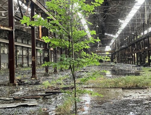
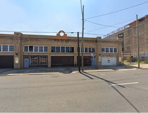
4501 North Miro Street: Leaaf completed a Phase I ESA at a Port of New Orleans property that was formerly leased to multiple steel companies. The site and adjoining properties were historically used for industrial fabrication, fueling, and rail freight. The site contained warehouses, aboveground storage tanks (ASTs), underground storage tanks (USTs), railyards, and fabrication/maintenance shops. Following the Phase I ESA, Leaaf prepared a Quality Assurance Project Plan (QAPP) that included a Work Plan, Quality Assurance/ Quality Control (QA/QC) Plan, and Technical Sampling and Analysis Plan (SAP). EPA’s QA G-5 QAPP Guidance checklist was completed for all data collection activities conducted as part of this investigation. The site investigation included a ground penetrating radar (GPR) Survey, nine soil borings, five temporary monitor wells, surface soil sampling for asbestos and lead, and bulk sampling of visible construction debris for asbestos. Leaaf prepared a Phase II ESA, Site Investigation and RECAP Evaluation Report documenting the soil and groundwater investigation.
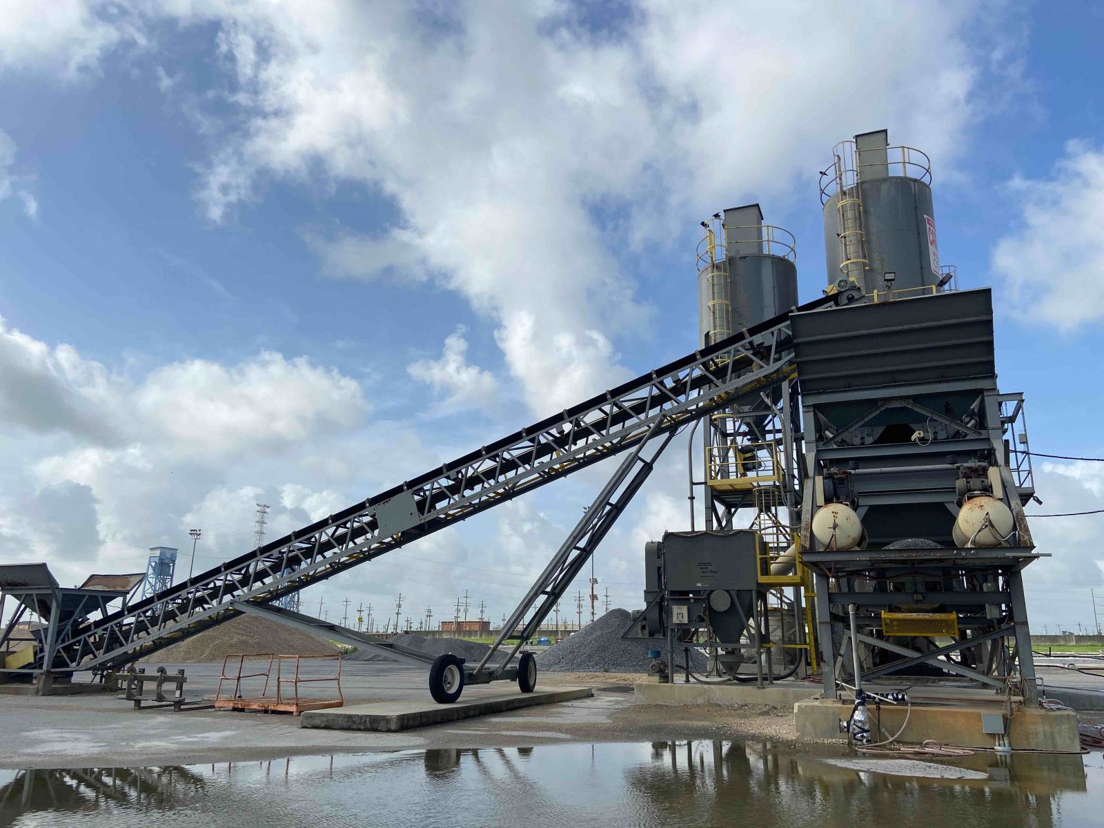
3855 France Road - Phase I ESA: The property consisted of 12-acres developed with two structures occupied by Central Rock Company. Operations consisted of concrete crushing, recycling, and stockpiling construction grade aggregates. Former industrial facilities had operated at the property since 1955 and contained fueling areas with ASTs, chemical storage, petroleum products, and hazardous materials which may have had releases to soil and groundwater. The property was also historically used for metal manufacturing, which can directly impact surrounding soil and groundwater with heavy metals. Leaaf prepared a Phase II scope of work.
3410 Jourdan Road - Phase I ESA: The property consisted of 24.7 acres of cleared and wooded land. Former industrial facilities had operated at the property since at least 1979 and contained historical fueling areas with ASTs, historic barge repair areas with sandblasting/painting and steelwork, aggregates storage and supply areas, and various petroleum products and hazardous materials storage which may have had releases to soil and groundwater. The historic operators had received past notices of environmental compliance violations and had been subject to Compliance Orders and penalties. Other potential concerns consisted of mounds of unknown origin and stressed vegetation in the vicinity of a sewer manhole. Leaaf prepared a Phase II scope of work.
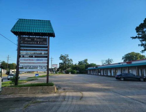
6000 Jourdan Road - Phase I ESA: The property consisted of 14 acres located on the east bank of the IHNC and was developed with a closed warehouse with garage loading docks currently used to store industrial paper rolls; a double trailer with offices; and an open walled covered storage area used to sort and store granite slabs. Former industrial facilities had operated at the property since at least 1966 that contained historic fueling areas with ASTs and USTs, drilling mud and aggregates storage, hazardous transport areas, rail spurs, maritime docks, and various petroleum products and hazardous materials storage. The historic operators had received past notices of environmental compliance violations and completed remediation/excavations of abandoned USTs and various surface spills. Current surface contamination from an unknown, historic underground source was present on the site and was observed seeping out of the ground on the west side of the site in two separate locations. Previous assessments indicated the presence of abandoned underground piping and the presence of a hydrocarbon substance in soil (consistent with heavy fuel oil, also referred to as Bunker C oil). No confirmatory sampling had been done; therefore, the extent of this contamination was unknown. In addition, any historic impacts to soil and groundwater were unknown. Leaaf prepared a Phase II scope of work.
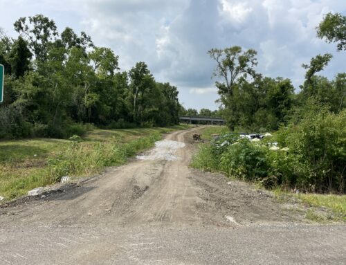
6000 Terminal Road - Phase I ESA: The property consisted of 27 acres located on the east bank of the IHNC that was undeveloped and wooded. The assessment reveled no evidence of recognized environmental conditions (RECs) in connection with the property; therefore, no further investigation was recommended at that time. Materials were observed that required removal by a licensed third-party, including solid waste debris that was dumped at the site.
3201 France Road - Phase I ESA: The property consisted of 15 acres located on the west back of the IHNC and was developed with a concrete plant and batch house and two mobile trailers. Former industrial activities associated with maritime and shipping transport, including filling of a historic boat slip, had operated at the site since 1952. Operations may have included placement of dredged fill material, fueling areas with ASTs, storage and/or transport of petroleum products and hazardous materials, and diesel/hydraulic lift equipment at the site. Ongoing operations included fueling areas with ASTs, chemical storage, and petroleum and hazardous materials storage. Leaaf prepared a Phase II scope of work.
6500 Terminal Road - Phase I ESA: The property consisted of 16.8 acres located on the north bank of the Gulf Intracoastal Waterway (GIWW) consisting of cleared and wooded land. The assessment reveled no evidence of recognized environmental conditions (RECs) in connection with the property; therefore, no further investigation was recommended at that time. Materials were observed that required removal by a licensed third-party, including solid waste debris that was dumped at the site.
